Nowadays, location is an essential feature of everyone’s life. Maps are constantly used by millions of people across various domains. And that has transformed geography into a major business. This has also led to the emergence of numerous location industries, as well as, geospatial data providers.
But the only thing that sets OSM (OpenStreetMap) apart is transparency. Besides, OSM utilizes a more advanced approach when displaying data in the maps. You can easily add missing features to the location maps using OSM.
The Basics
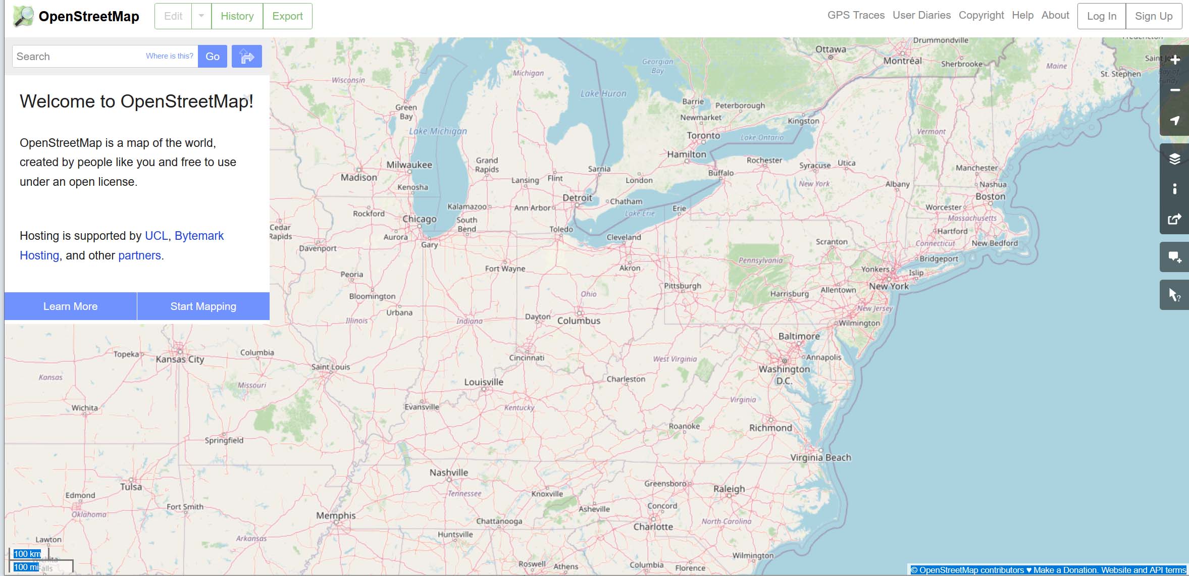
OpenStreetMap (OSM) development is based on several factors that have contributed to its rapid growth. First, it’s represented by the creation of the interactive web. And second, it’s represented by the availability of GPS (Global Position System). With the current technological advancements, collecting geographical information using smartphones plus mobile devices has become increasingly popular. And all this data and information can contribute to OSM.
Since OSM is free, it’s being used in numerous applications, organizations, and services. Aside from its versatility, the OSM database is also easily accessible. Visualization of data is another incredible feature available in OSM. Even more, the OSM database can safely store metadata at the node level. If you’re looking for an affordable way to produce geographical data, make OSM your ultimate choice. It utilizes sophisticated technologies that enrich the map database.
Map and OSM Service Integration
Integration of the Internet and GIS can provide excellent capabilities, such as accessibility to interactive maps and real-time geospatial data analysis. OSM has implemented and advanced tool referred to as Nominatim that helps with both geocoding and reverse geocoding.
With this tool, you can make quick searches in the OSM database by name and address. Most companies have implemented this technology via APIs. Geocoding is a process that transforms zip code addresses into geographic coordinates (longitudes and latitudes). However, if you need to convert numerical geographical coordinates into zip code or postal address, then you’ll need a reverse geocoding process.
How to Publish Open Data
There are two ways through which you can publish open data; bulk data processing and Application Programming Interface (API). APIs don’t usually require constant synchronization. Plus, they don’t involve parsing or transfer of large data volumes.
The integration of OSM and geocoding can go a long way in helping users obtain the desired locations and features on a map. Ideally, Mapping API functionalities incorporate a wide range of capabilities, including animated maps, travel, geocoding, as well as, elevation data.
A web-mapping application that hosts both geocoding and OSM database features allows users to visualize locations and find both zip codes, as well as, geographic locations.
The Bottom-Line
Geocoding provides intuitive access to customers. It facilitates access with large volumes of geographical data combining both maps, as well as, batch geocoding. Whether you’re a non-profit organization, a company, or a government, there are several ways through which you can benefit from geocoding. So, if you want to easily geocode your address and location data, think https://geocodeapi.io/batch-geocode-csv/. You will love the results.